Here are some general views of the area, mainly taken in March 2010, together with some historical notes. There is a section on Withington Green and the Cotton Lane area.
Click on each image for a full-size picture.
 St.
Paul's Church, Withington (1841)
|
 Lych
gate, Withington
|
 Old
cottages, Ladybarn
|
 An
old stable-yard in Withington
|
 Withington
Library was opened in 1927.
It is
one of the many "Carnegie libraries" in the
UK. The area in front of the library was once
|
 There are
a number of small Victorian public
houses in the area. This is "The Orion",
taking its name from a nineteenth-century
HMS Orion. See the
Village
history for more
details.
|
 Withington
Baths, designed by Henry Price
(1867-1944), as was Withington Library.
Above the right-hand door is a stone
inscribed "1911". See the Village
history
for
more details.
|
 Baths
- windows detail
|
 Withington
Green as it was in the
Springtime
of 2012.
|
 Plaque
(erected 1896) commemorating
the
old parish school in Withington. See the
Village
history for the history of the school.
|
 Cotton
Lane - an old thoroughfare to the
south of the village centre. The Cotton Tree
public house, shown here, was demolished
in 2011. The area, east of Wilmslow Road,
was once called Cotton Tree Field, or
Cotton
Field. See below for more details.
|
 A
carved-wood statue in
Old Moat Park.
|
 Christie
Hospital was founded 1892, and
moved
to this site in 1932, bringing together
the Christie Hospital (named after Sir
Richard Copeley Christie) and the Holt
Radium Institute
(named
after Sir Edward Holt).
|
 The
Red Lion. The present building is
believed to be at least 200 years old and
the
site possibly older. It was the location
of
the Withington Court Leet until 1841, and
the meeting place for the Trustees of the
Turnpike Trust for (what is now) Wilmslow
Road. The Red Lion also used to be the
focus of the Rush Cart procession on St.
Oswald's Day. See the public
houses and
the Village
history pages for more details.
|
 Ladybarn
Park: the Poplar Walk in winter.
|
 Fog
Lane Park in the fog. Fog does
tend
to
linger in this area. Development of the
48
acre park began in 1926. [Feb 2012]
|
Withington
Green
Withington
Green is a roughly triangular piece of land at the
junction of Wilmslow Road (one of the principal roads
south from Manchester and once a turnpike road) and
Cotton Lane (an old thoroughfare from the east into
Withington). Cotton Lane is marked on William Johnson's
Plan
of the Parish of Manchester (1820) leading
to Cotton Tree Field, and the settlement at this
junction is named "Withington Green", suggesting that
the Green itself is considerably older. Withington Green
is marked on the Withington Tithe Map of
1845-48, occupying the same land as now and recorded as
"public land".
In
the Victorian period and later, ornamental trees and
flower beds were introduced with variety of designs over
the years. Old photographs and postcards record many of
these designs. For most of the 20th Century and early
21st, the Green was a landscaped area of ornamental
trees and flower beds. More recently, it has become part
of The Christie development and undergone a redesign.
Cotton Lane
The
area to the east of the Green, variously called Cotton
Tree Field, Cotton Field or Cotton Doles, is a remnant
of one of the open fields of the ancient open field
system for Withington. The origin of these names is
not clear. Kenneth Whittaker (in A History of
Withington) suggests the name probably comes
from "co-town strips making up the fields at the far
end [of Cotton Lane]" - part of the old open field
system. (This may well be correct, but "cotton tree"
suggests poplar trees which are occasionally known as
"cotton trees" ("cottonwoods" in the US) from the
downy covering of the seeds.) See the Old
Maps page for maps of this area through the
ages.
Pictures
below of the Green are mainly from January 2012, before
the recent redesign. Click on the images for enlarged
views.
 The
Green in Winter, looking north.
|
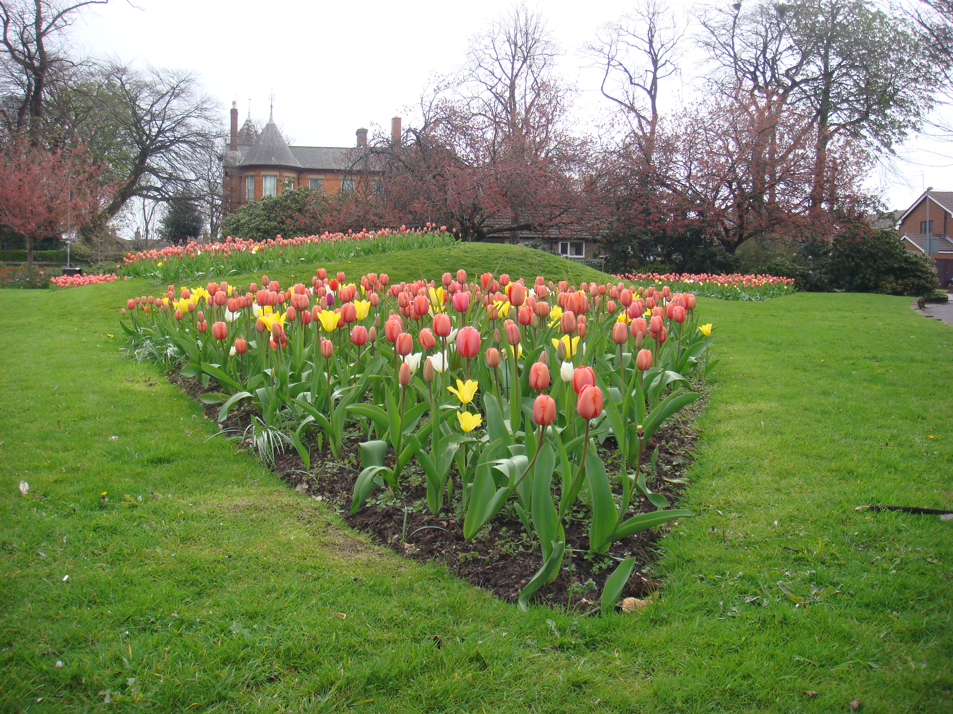
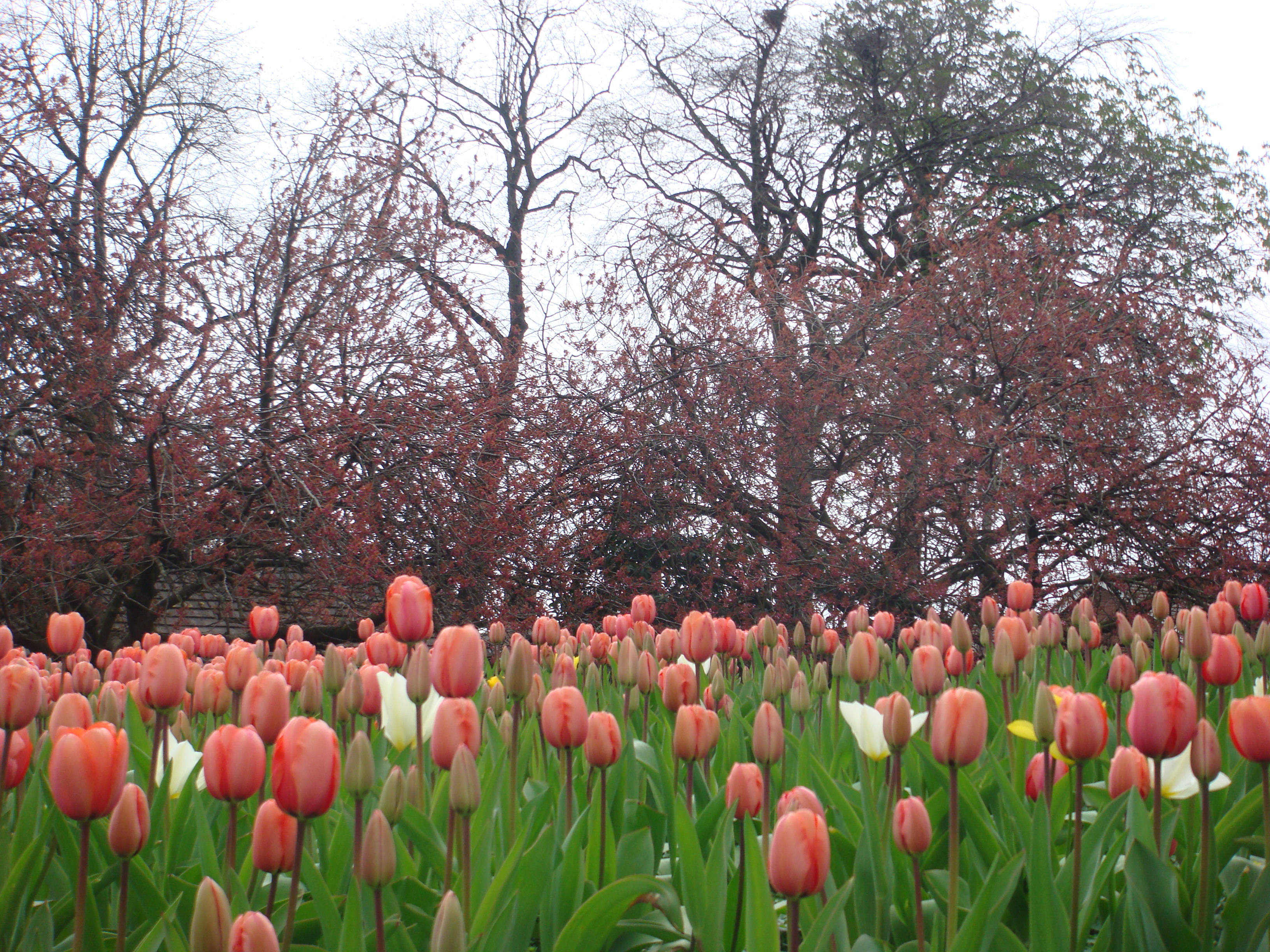 Tulips
and cherry blossom - the Green in Spring
(April 2012).
|
 Landscaping
on the Green.
|
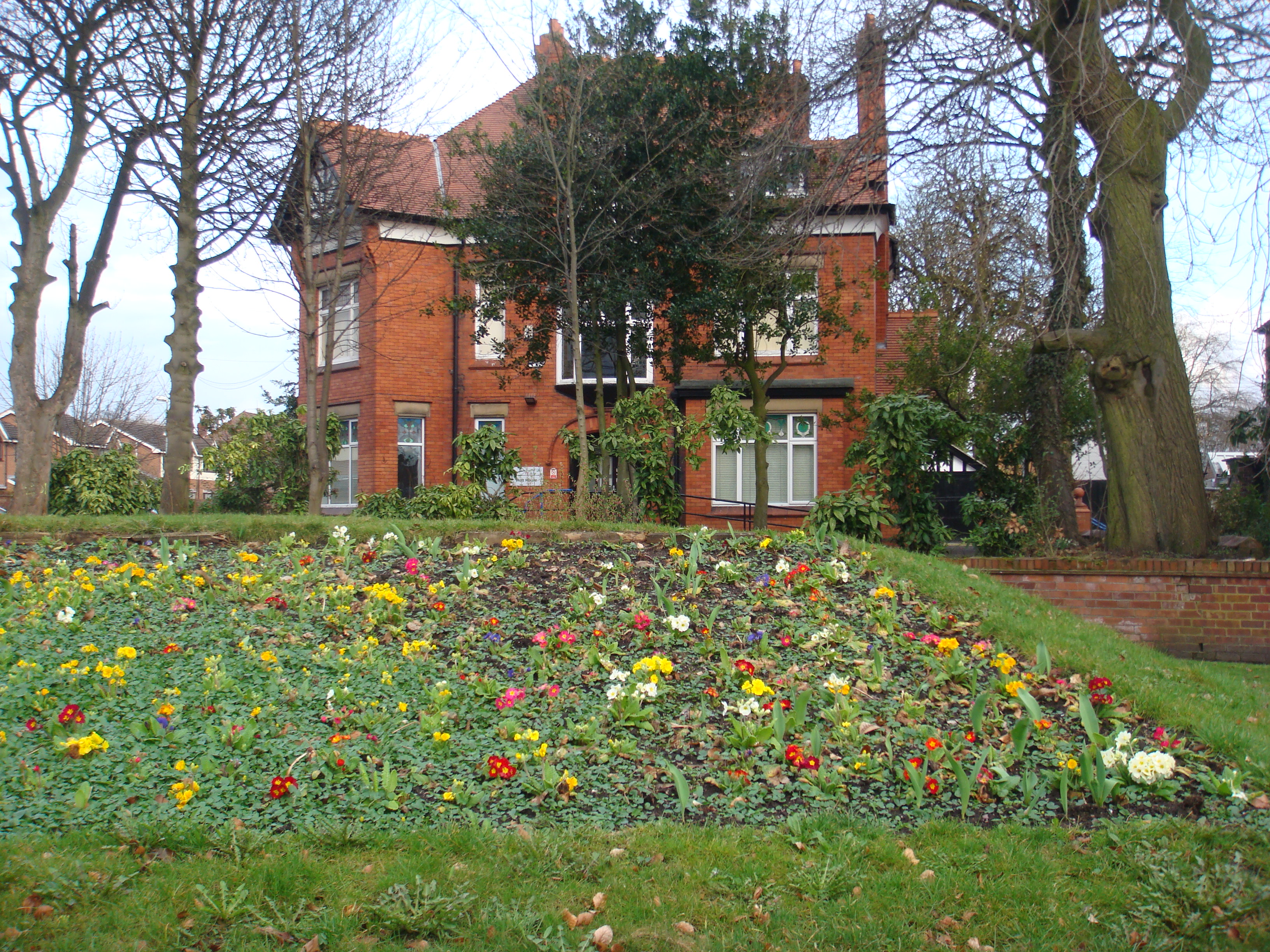 Winter
bedding, looking east (2010).
|
 Application
for Village Green Status
(January
2012).
|
 View
of the Green across Wilmslow Road.
|