Ladybarn
lies to the east of Withington. Records from the early 19th
century show Ladybarn as a small group of buildings,
surrounded by fields, on the north side of what was Ladybarn
Lane, and is now Mauldeth Road. See the Old
Maps page
for the growth and development of Ladybarn over the years.
Ladybarn is now an attractive place to live, with houses of various periods, a shopping area, a railway station and facilities including Ladybarn Park, with its magnificent Poplar Walk, Outdoor Gym, Bowling Club, sports facilities, children's playground, playing fields and woodlands.
The origins of the name 'Ladybarn/Lady Barn' are discussed below.
Here are some pictures of Ladybarn. Click on the images for enlarged views.
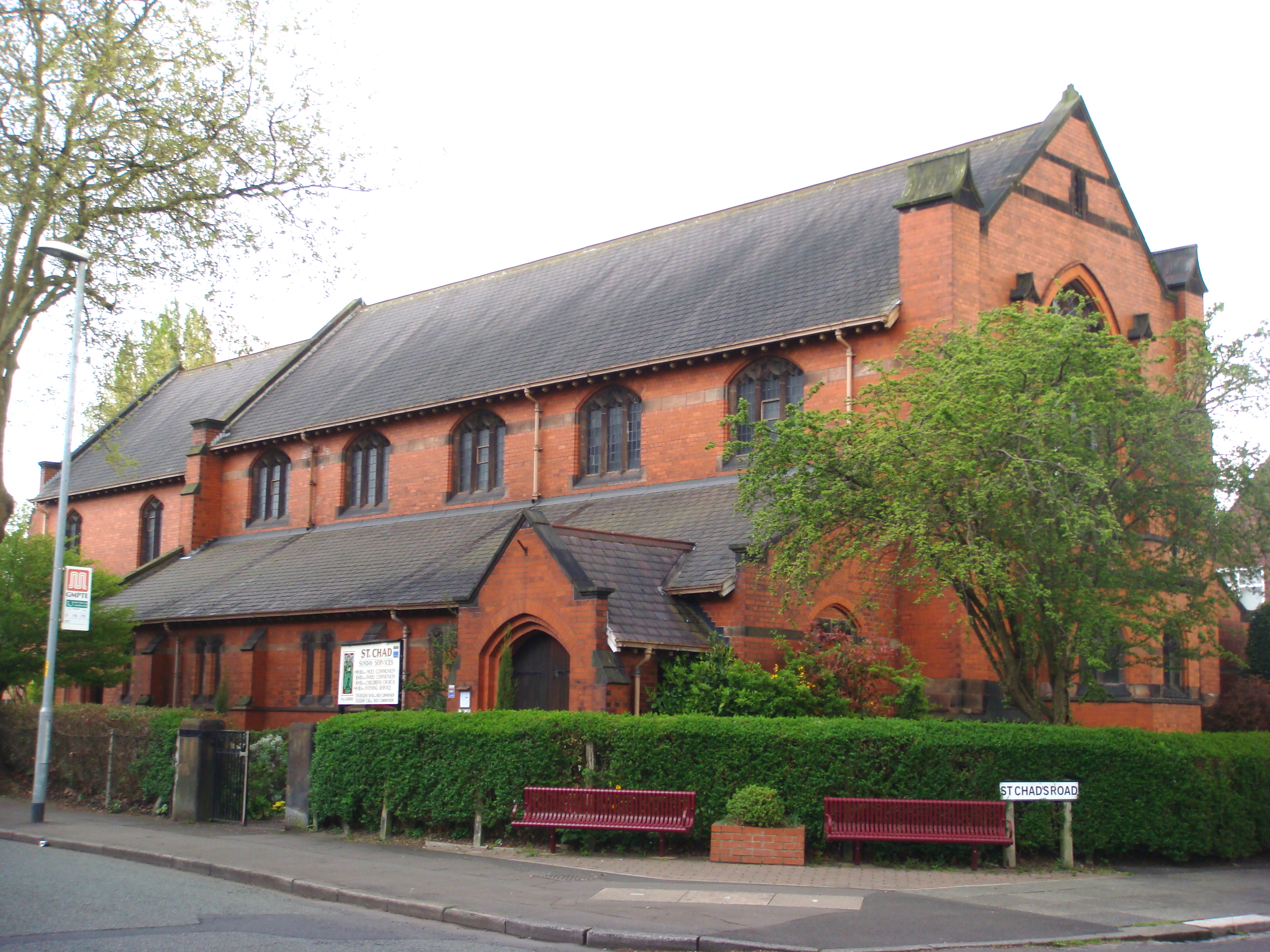 St Chad's Church, Ladybarn. The original building was dedicated in 1900. This building was designed by W. Cecil Hardisty and consecrated in 1907, superseding the original iron structure on a nearby site. [2010] |
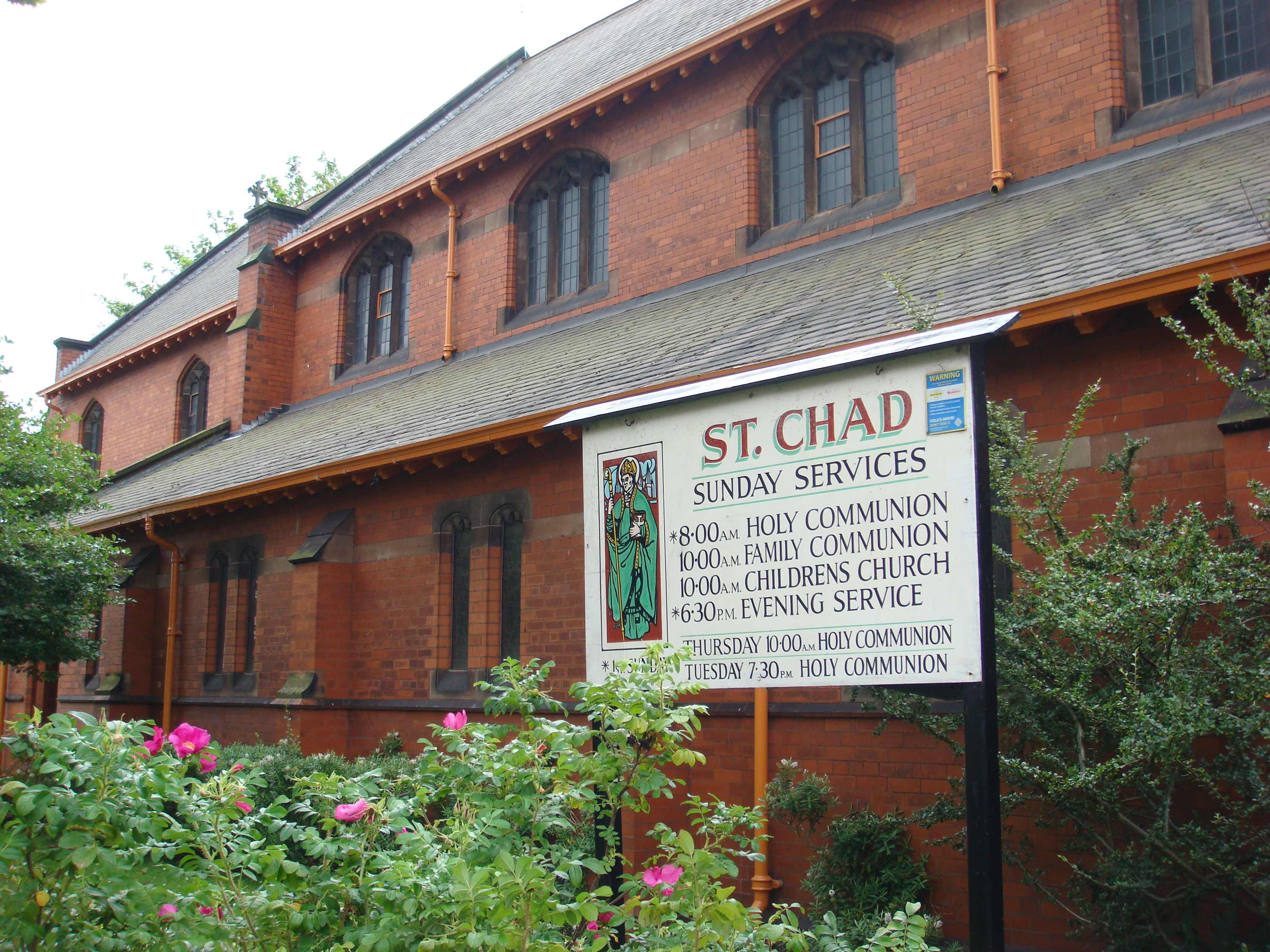
Another
view of the church. The organ is a Harrison and
Harrison Ltd.instrument and is rated Grade 2*
under a national scheme. For more information
about the remarkable history of the organ, see the history
page. [2012]
|
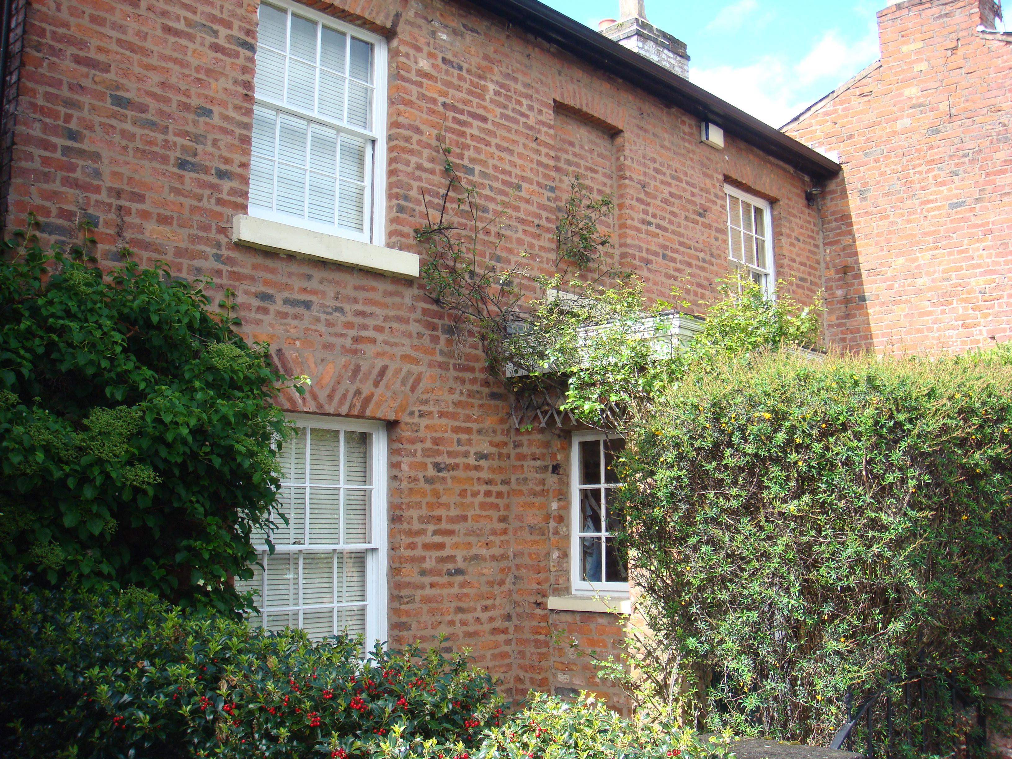
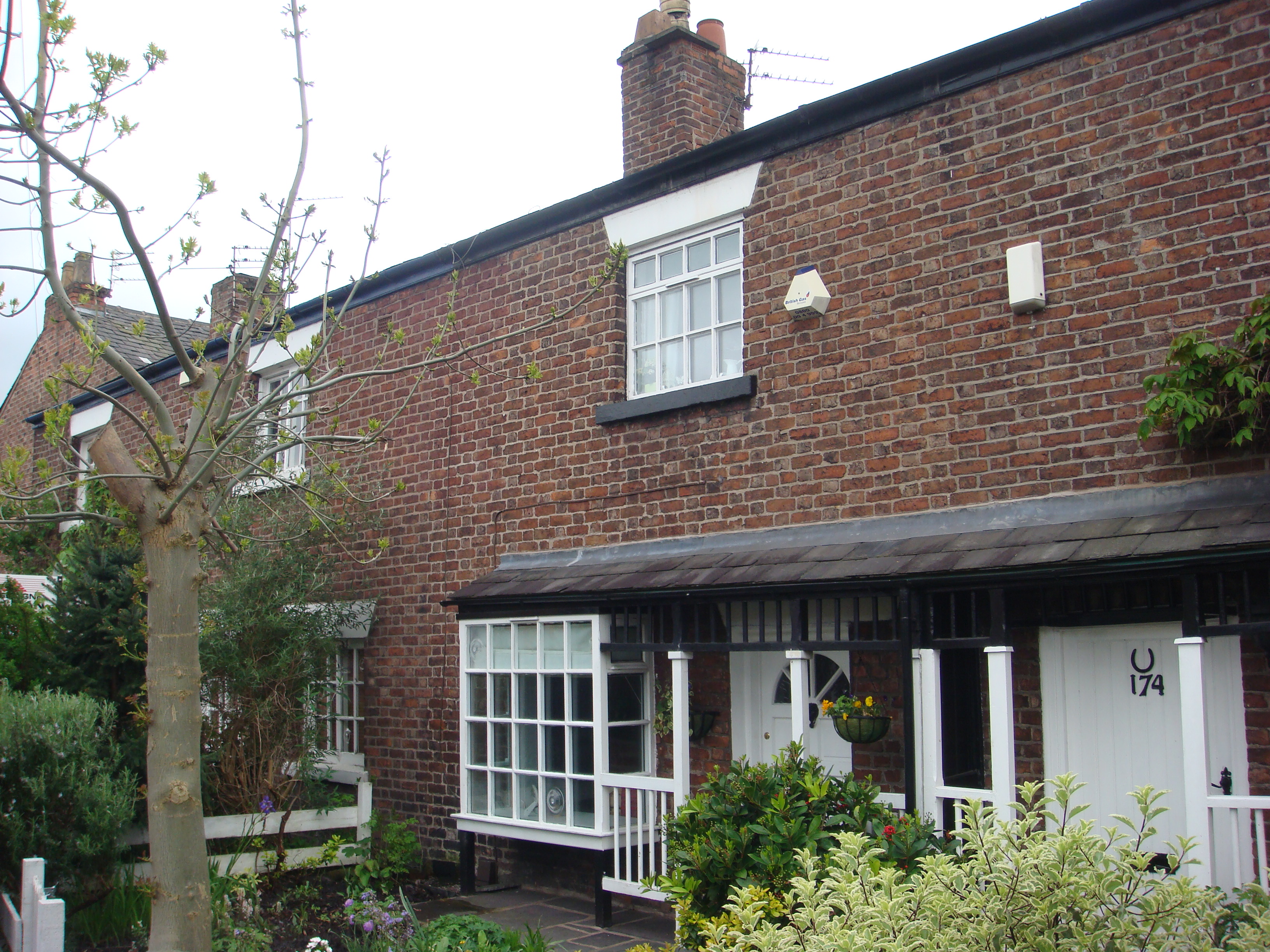 Cottages
on Ladybarn
Lane. [2014]
|
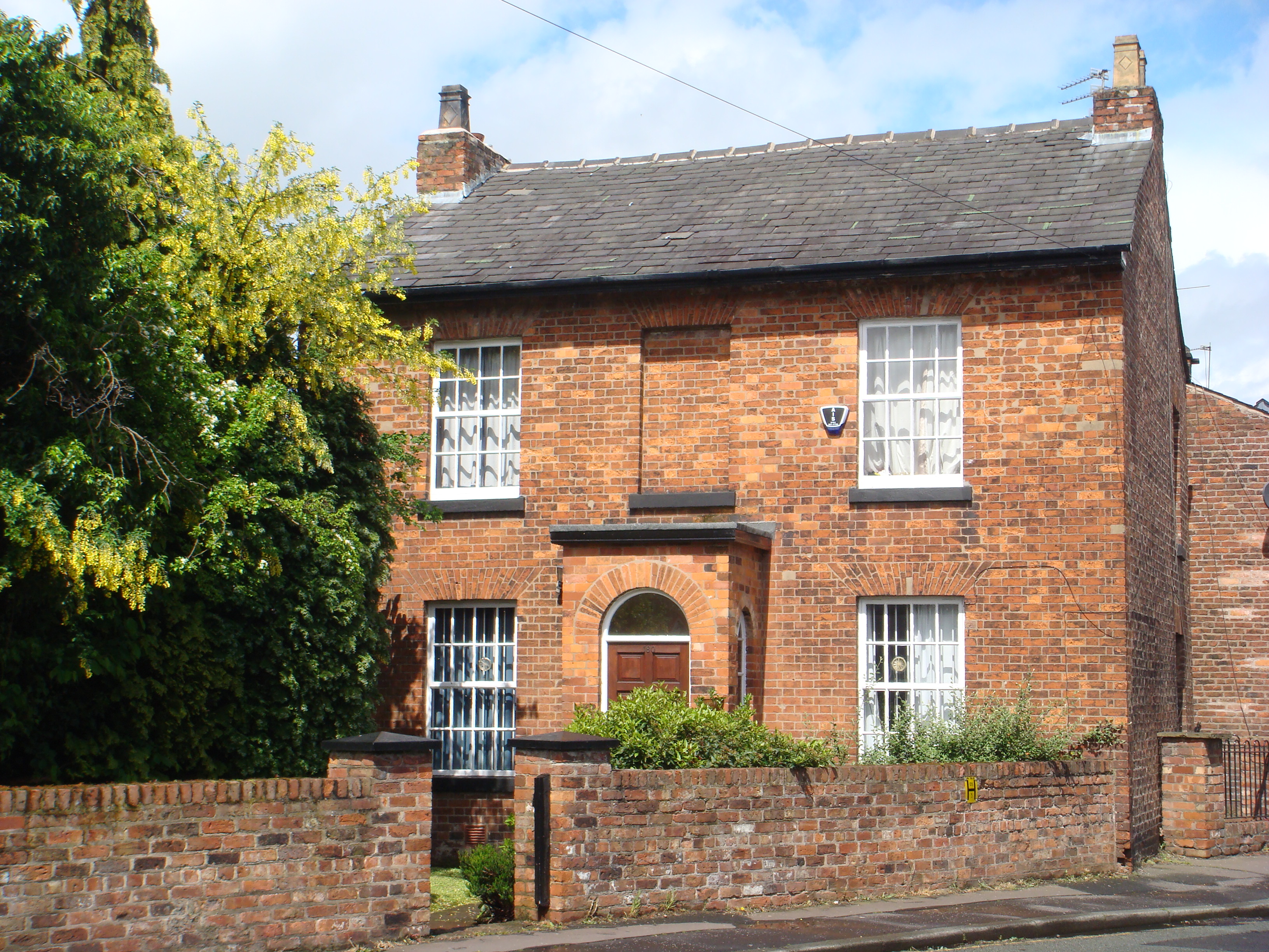 A house on Ladybarn Lane. [2014] |
 Cottages
on Ladybarn
Lane. [2014]
|
 Houses
in Green Street. [2014]
|
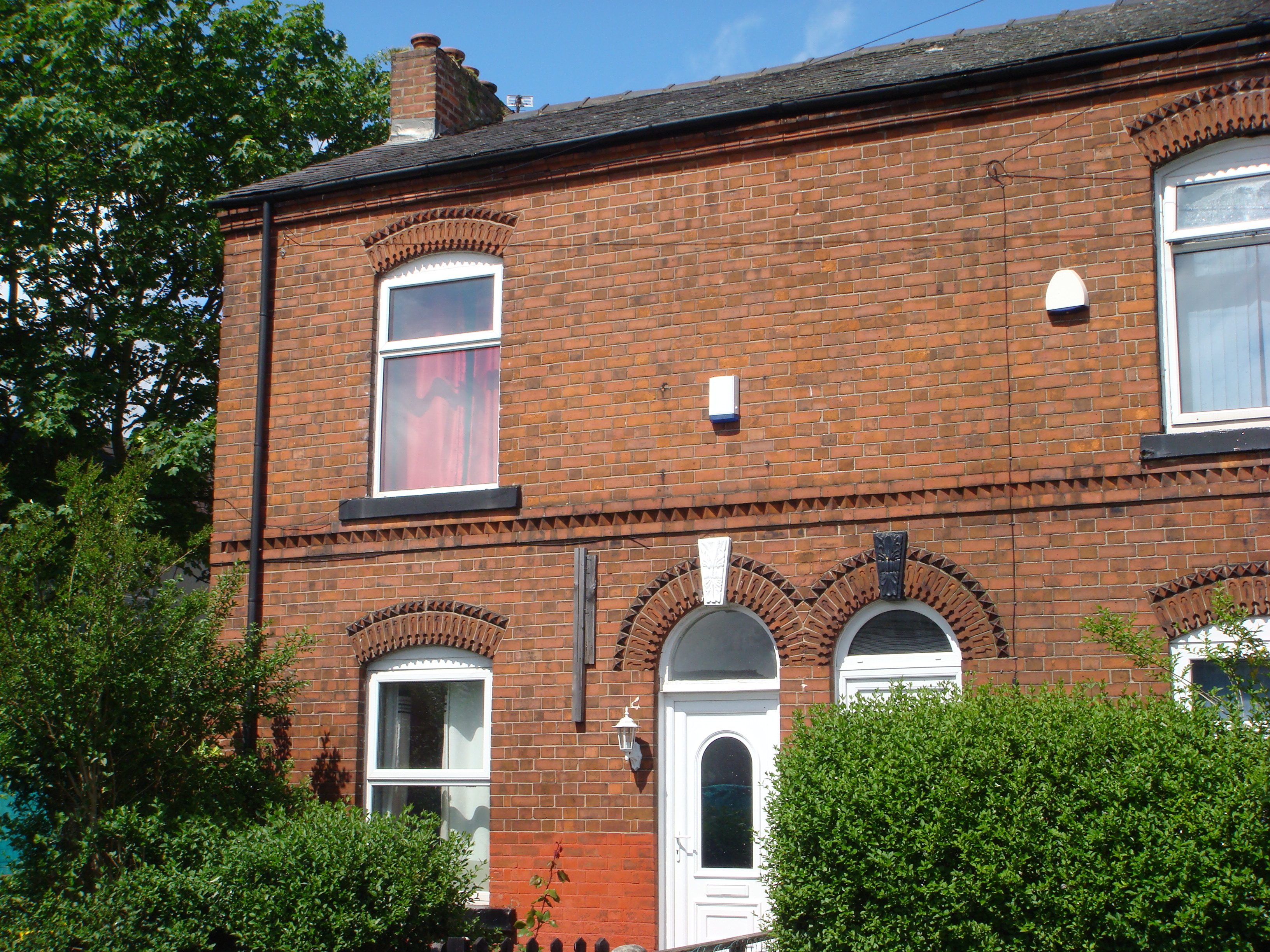
 Houses
on Ladybarn Lane. Notice the sign
for
the Derby
Arms public house. The former
public house was
behind this building,
on
Exbury Street.
It was closed
c2004
and
converted into
residential use. [2014]
|
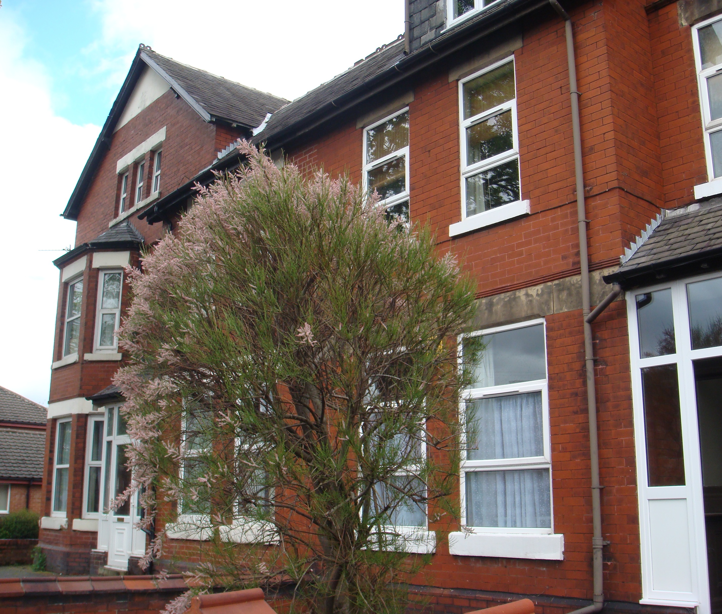 Houses
on Ladybarn Lane, with a tamarisk
tree in
flower. [2014]
|
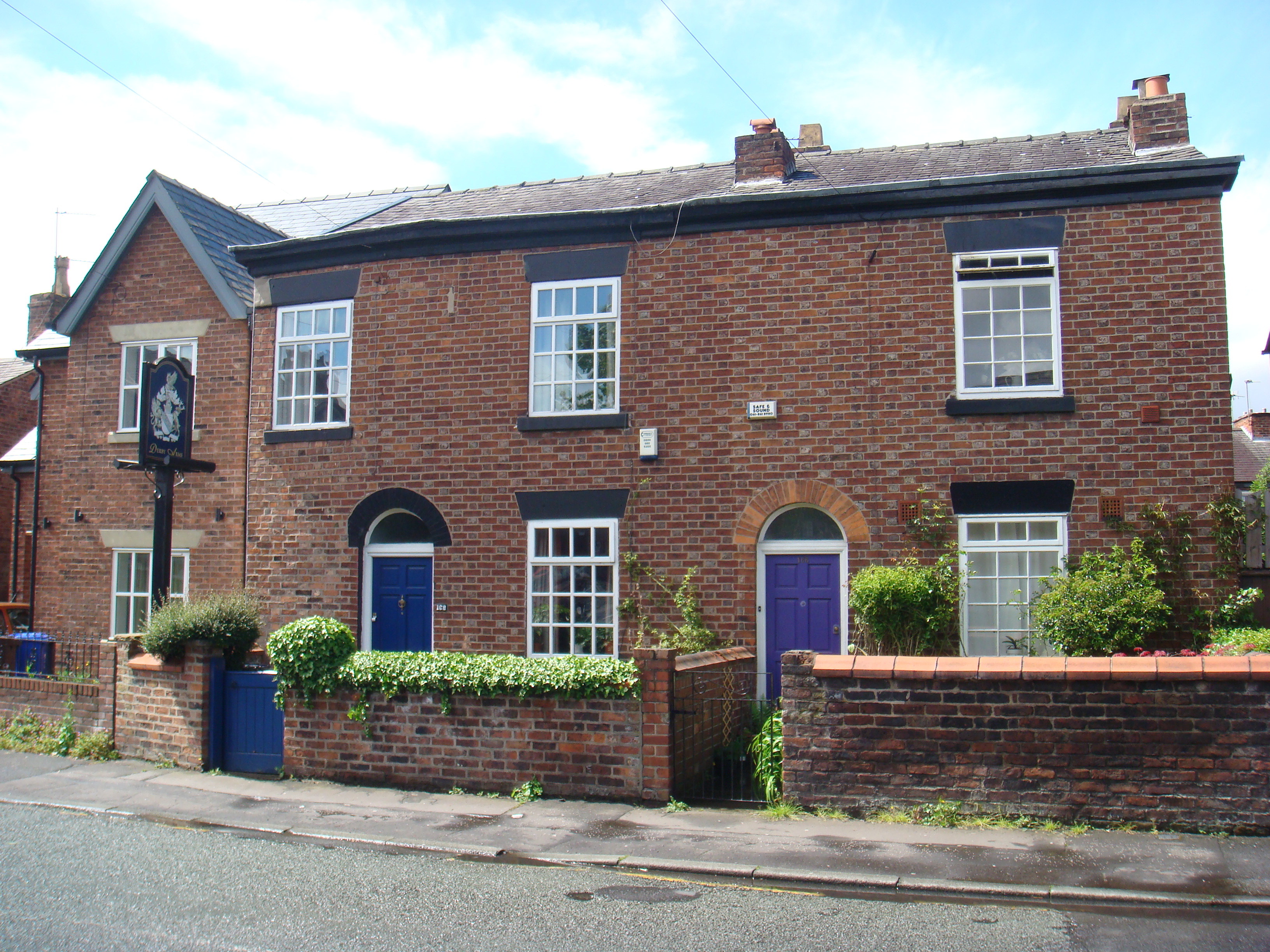
 Houses
on Exbury Street. [2014]
|
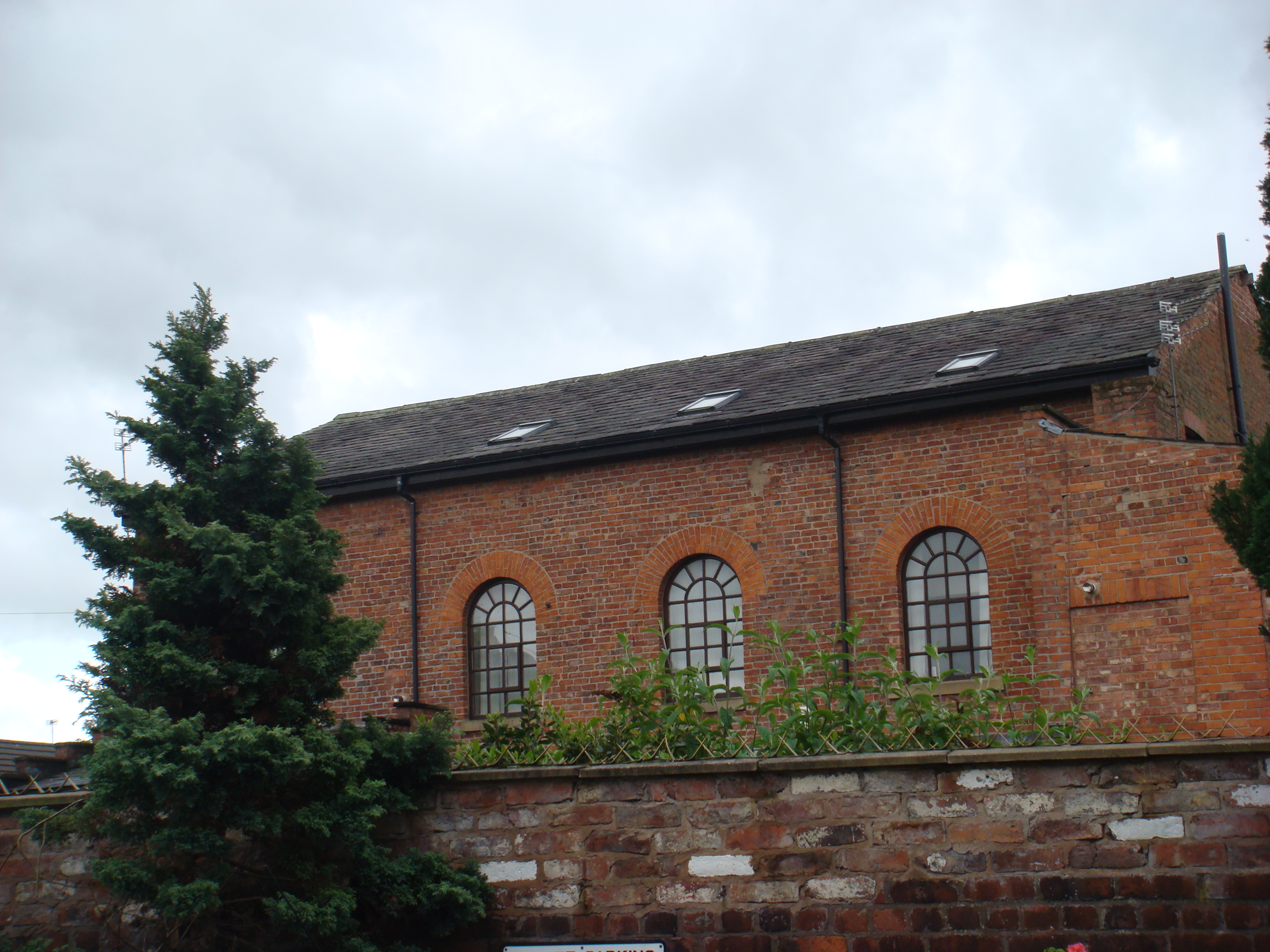 Mount
Pleasant Methodist Chapel on
Ladybarn
Lane. For
its history see
[2014]
|
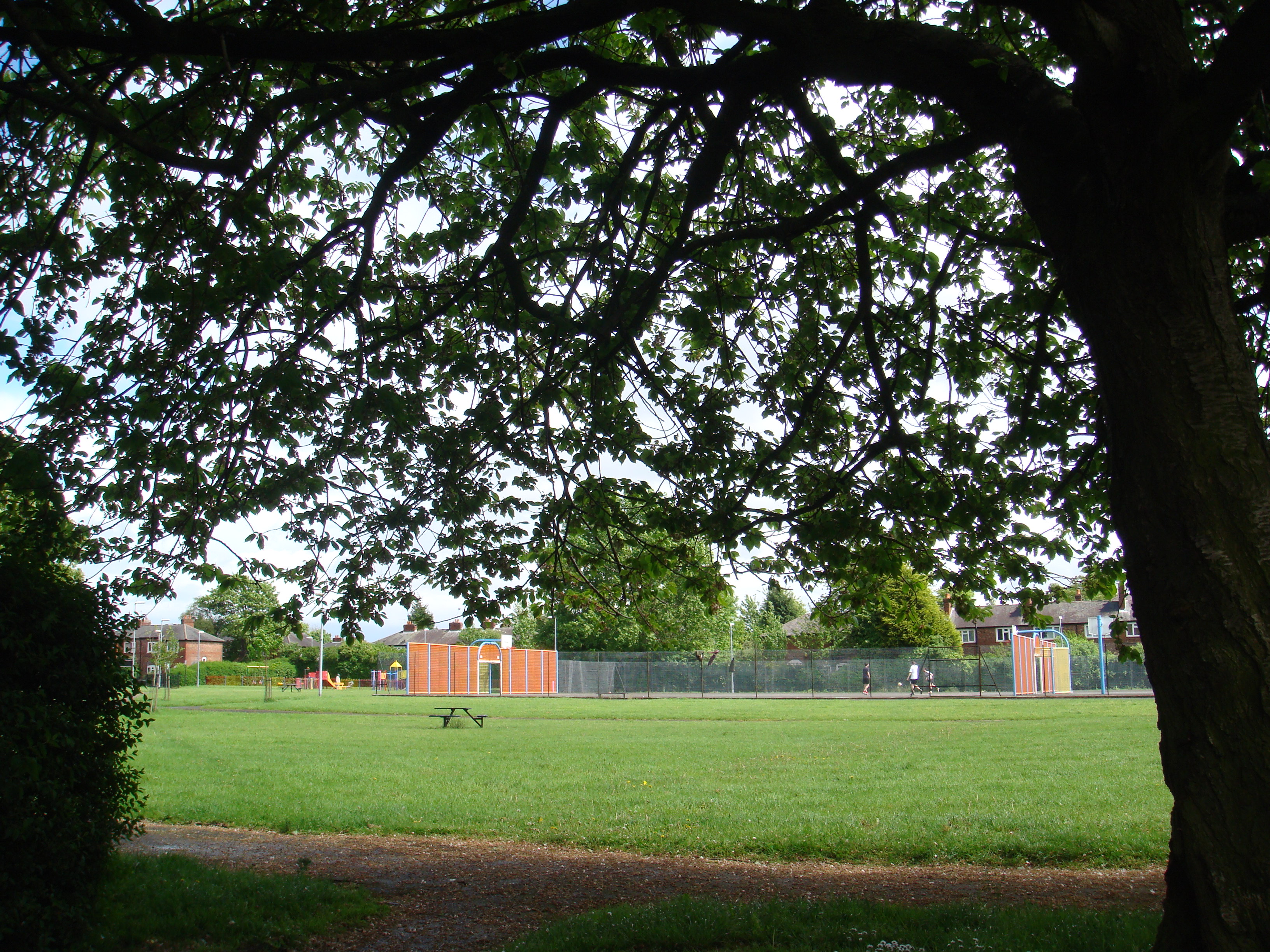 Kingswood
Park. For more information see
the
Parks page. [2014]
|
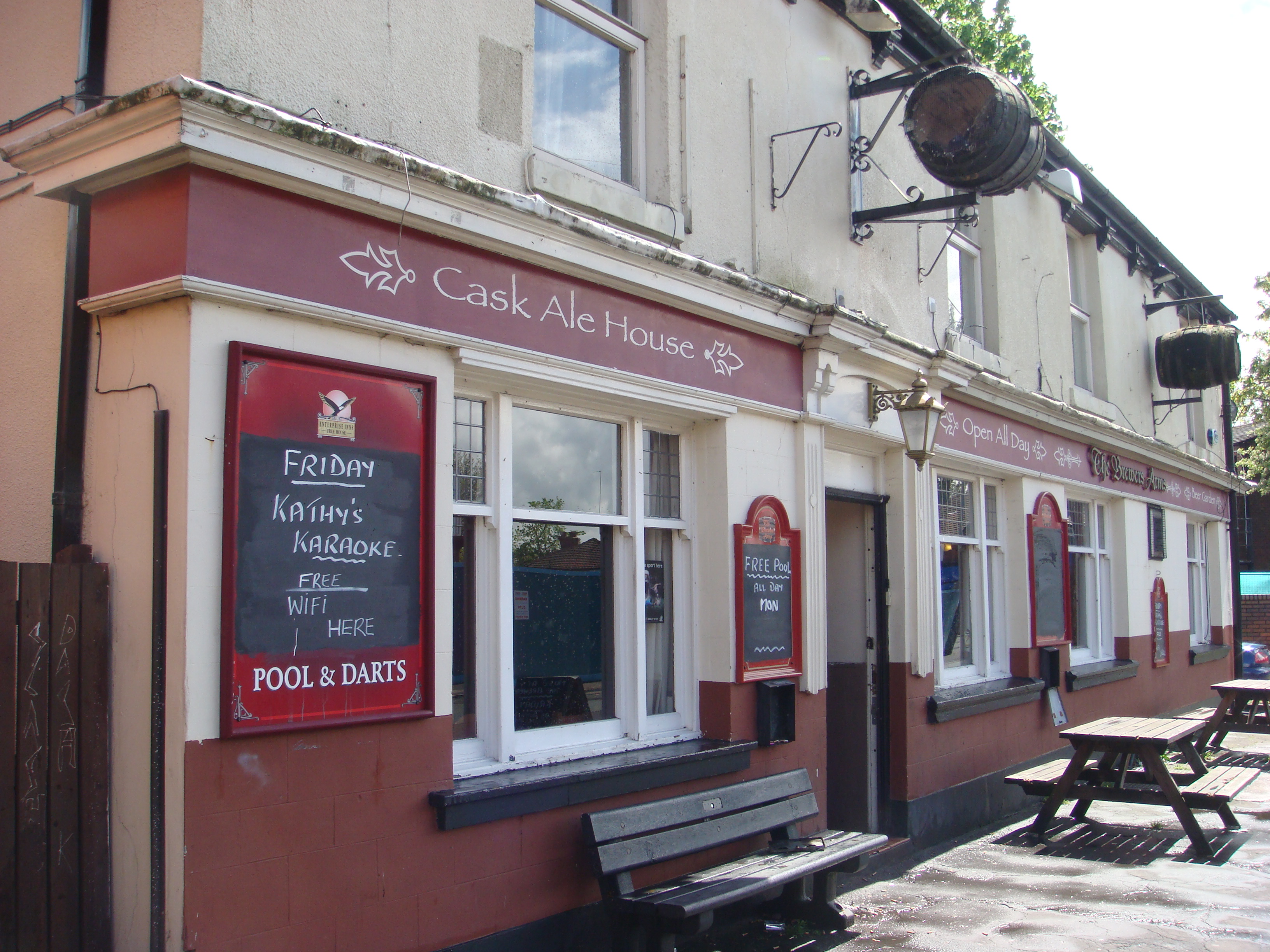 Brewer's
Arms, Ladybarn Lane. [2014]
|
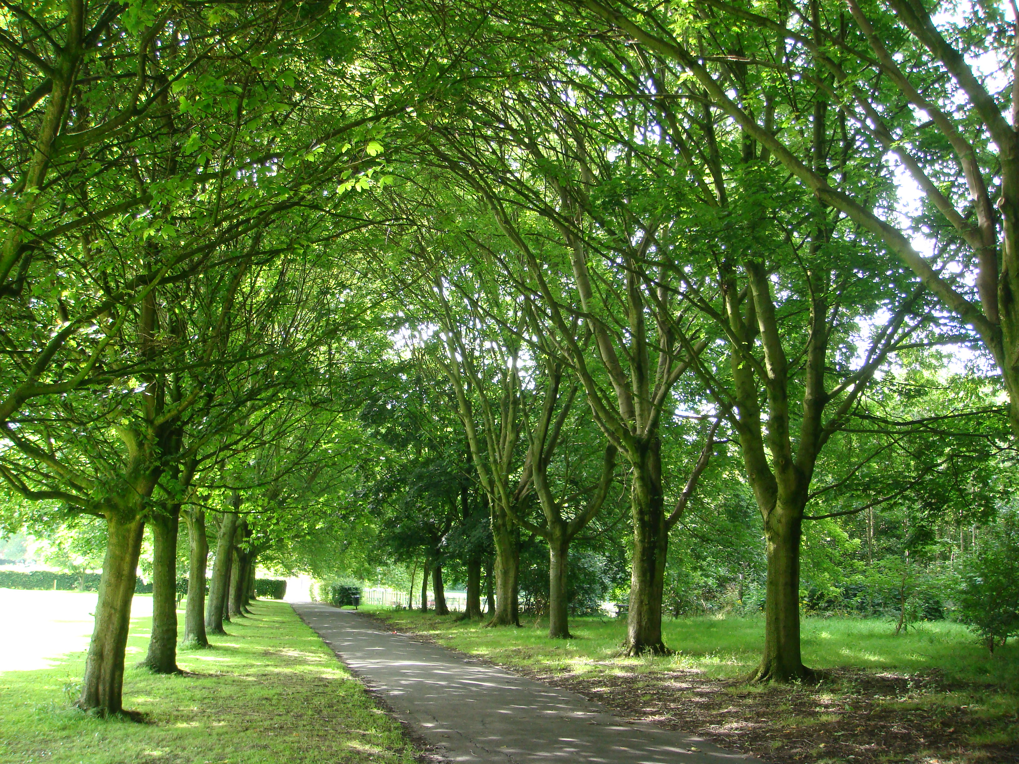
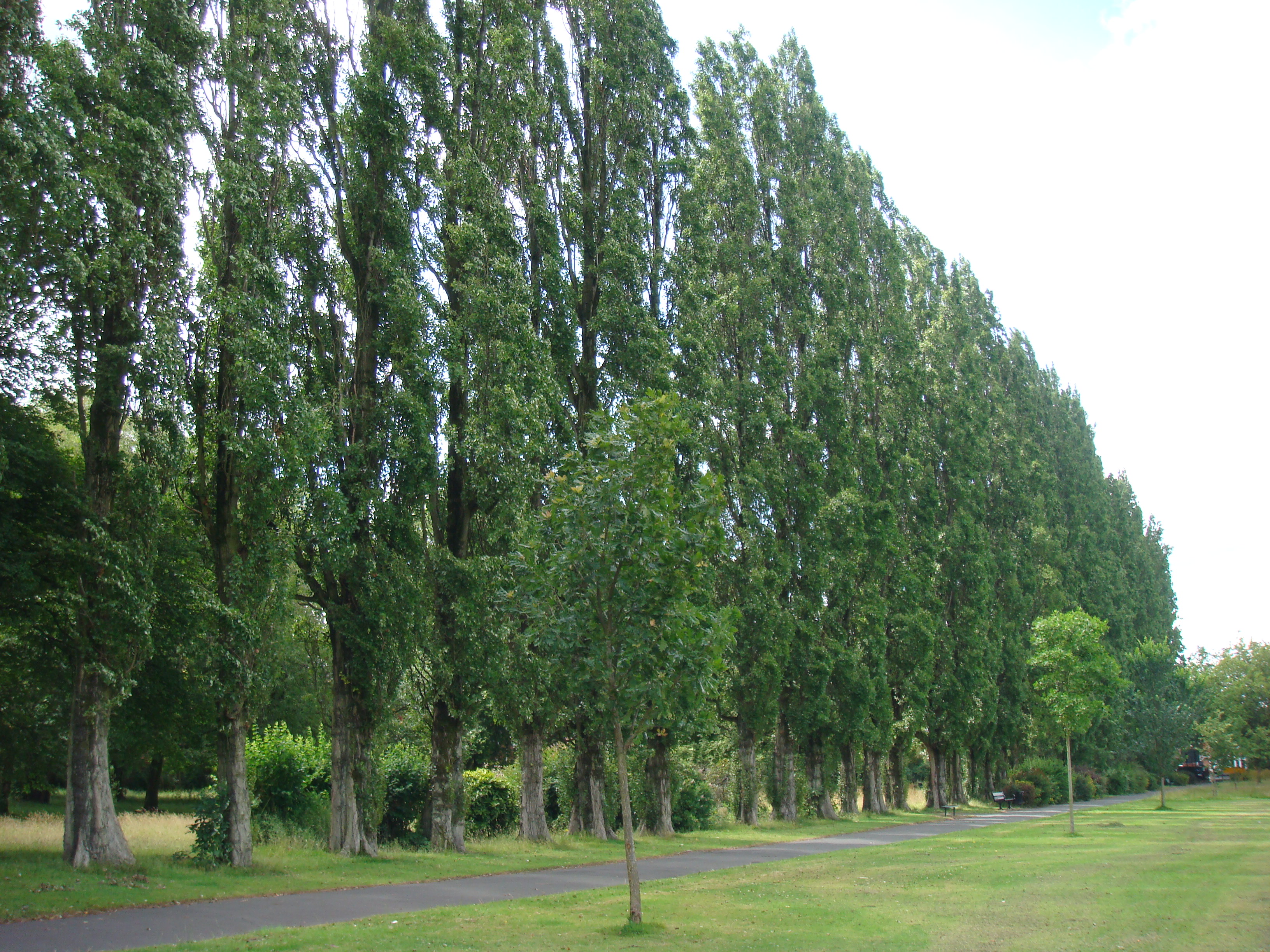 Ladybarn
Park - the magnificent Poplar
Walk in
summer (2011). Here is a
|
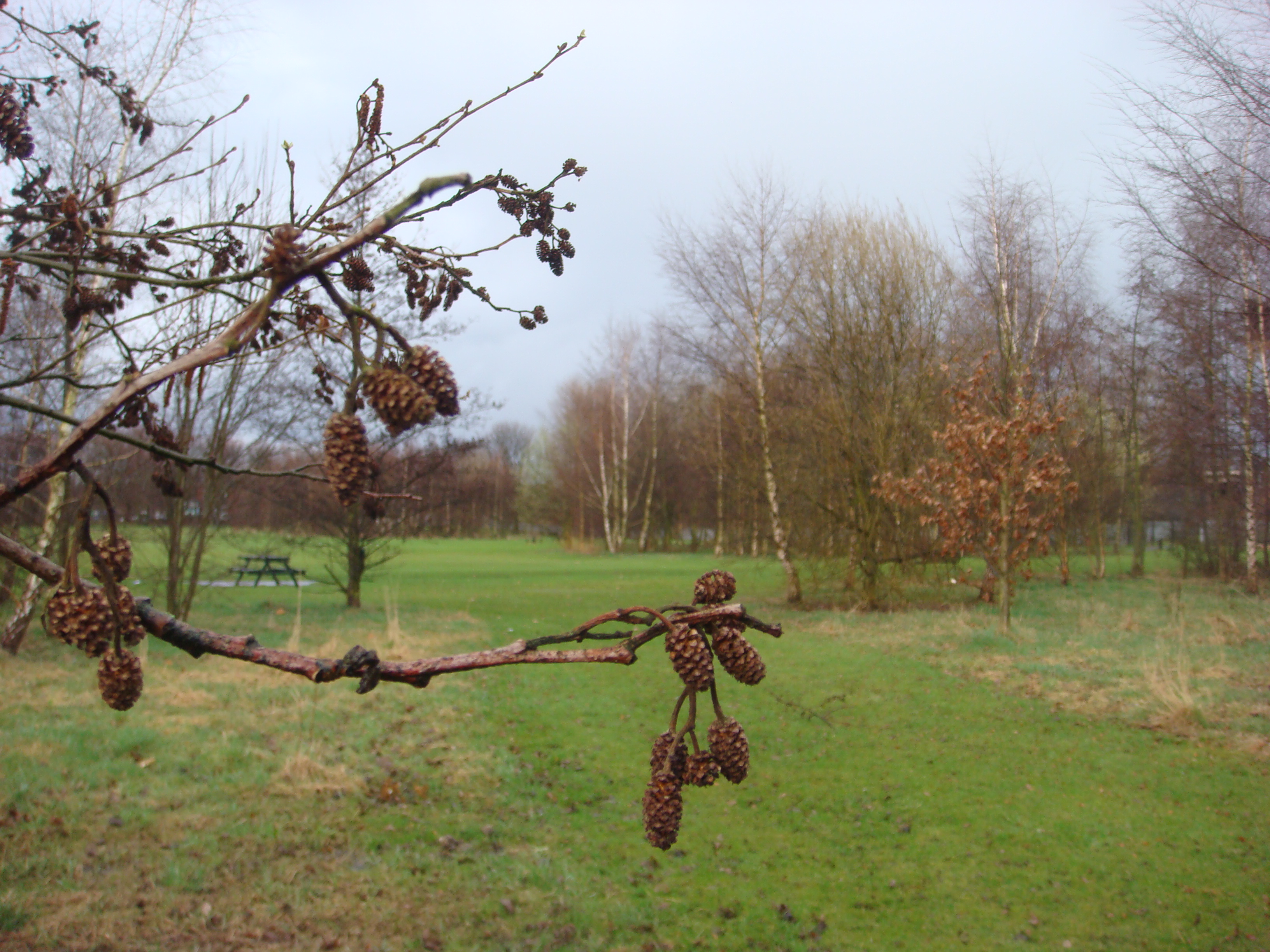 Ladybarn
Park - woodland
area in
winter.
Alder
(Alnus glutinosa), with male and
female
flowers, in the foreground. [2010]
|
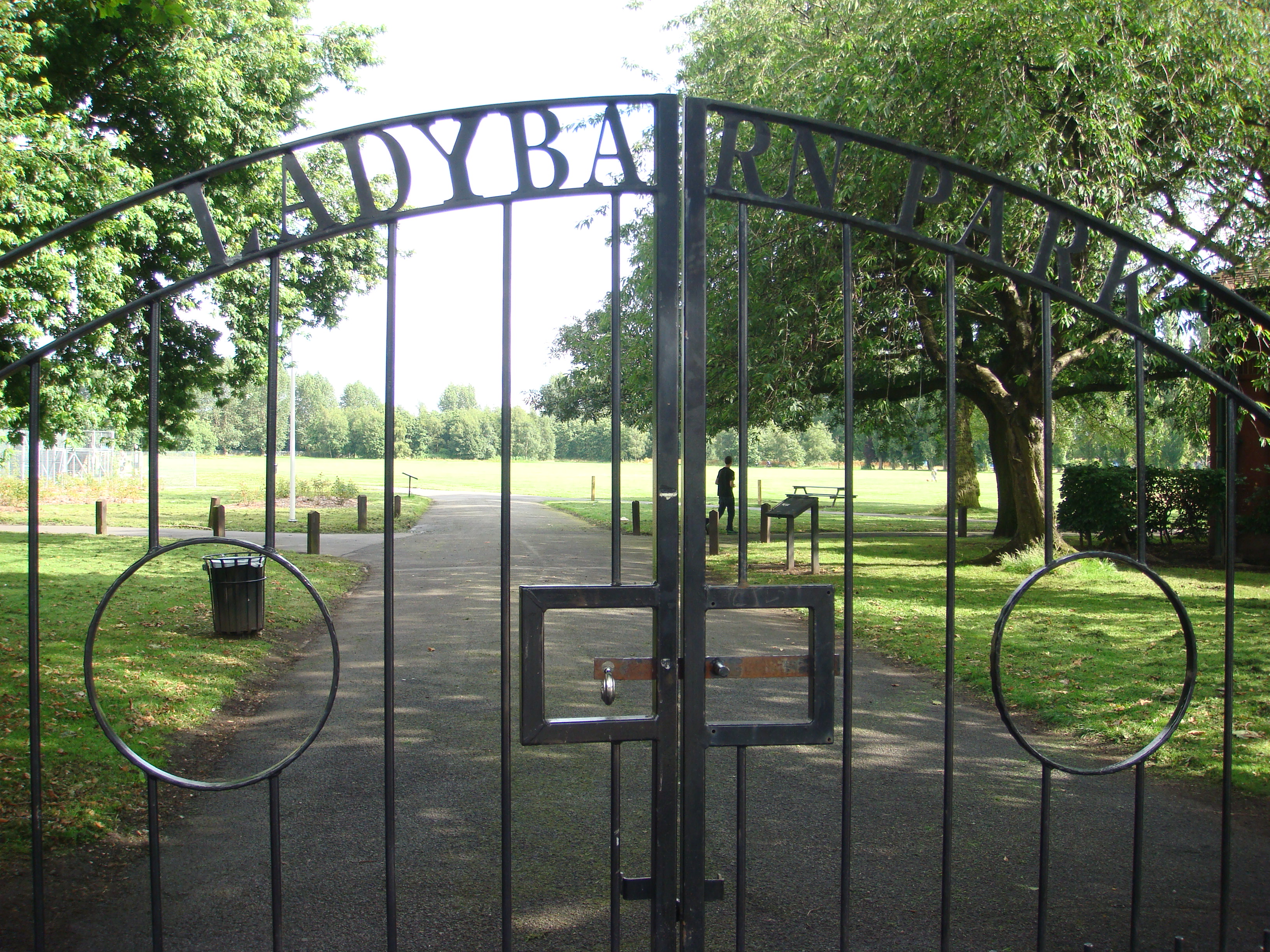 Ladybarn
Park - decorative gates.
|
 Ladybarn
Park - the magnificent Maple Avenue, a gift from
Canada, consists of several species of maple.
[2012]
|
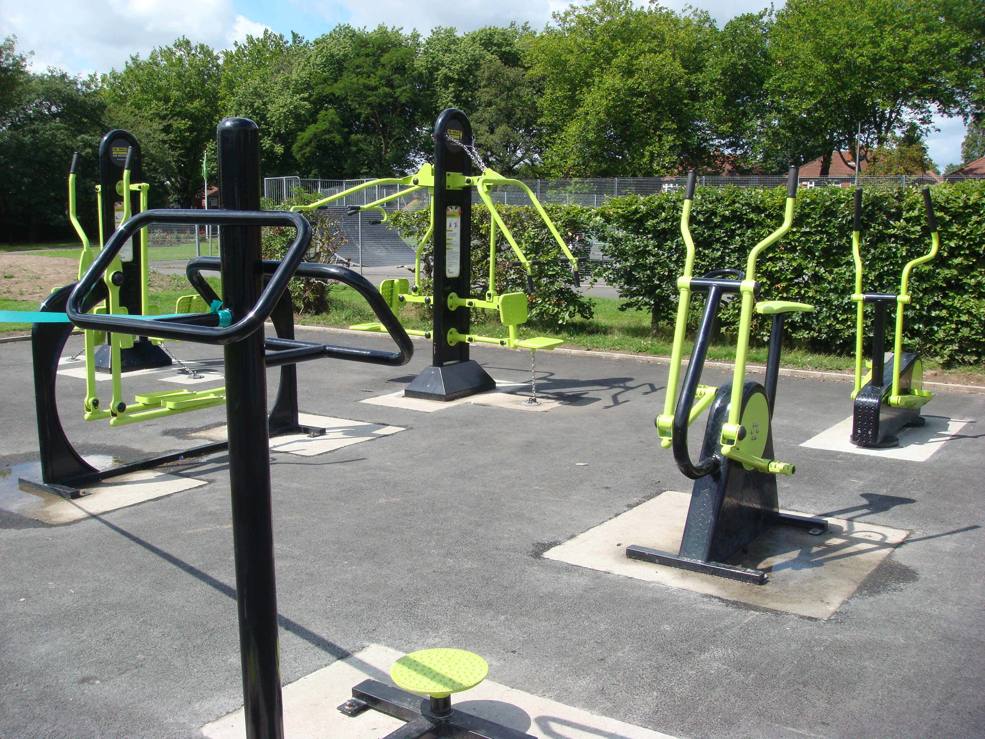 Ladybarn
Park - part of the outdoor gym [2011].
|
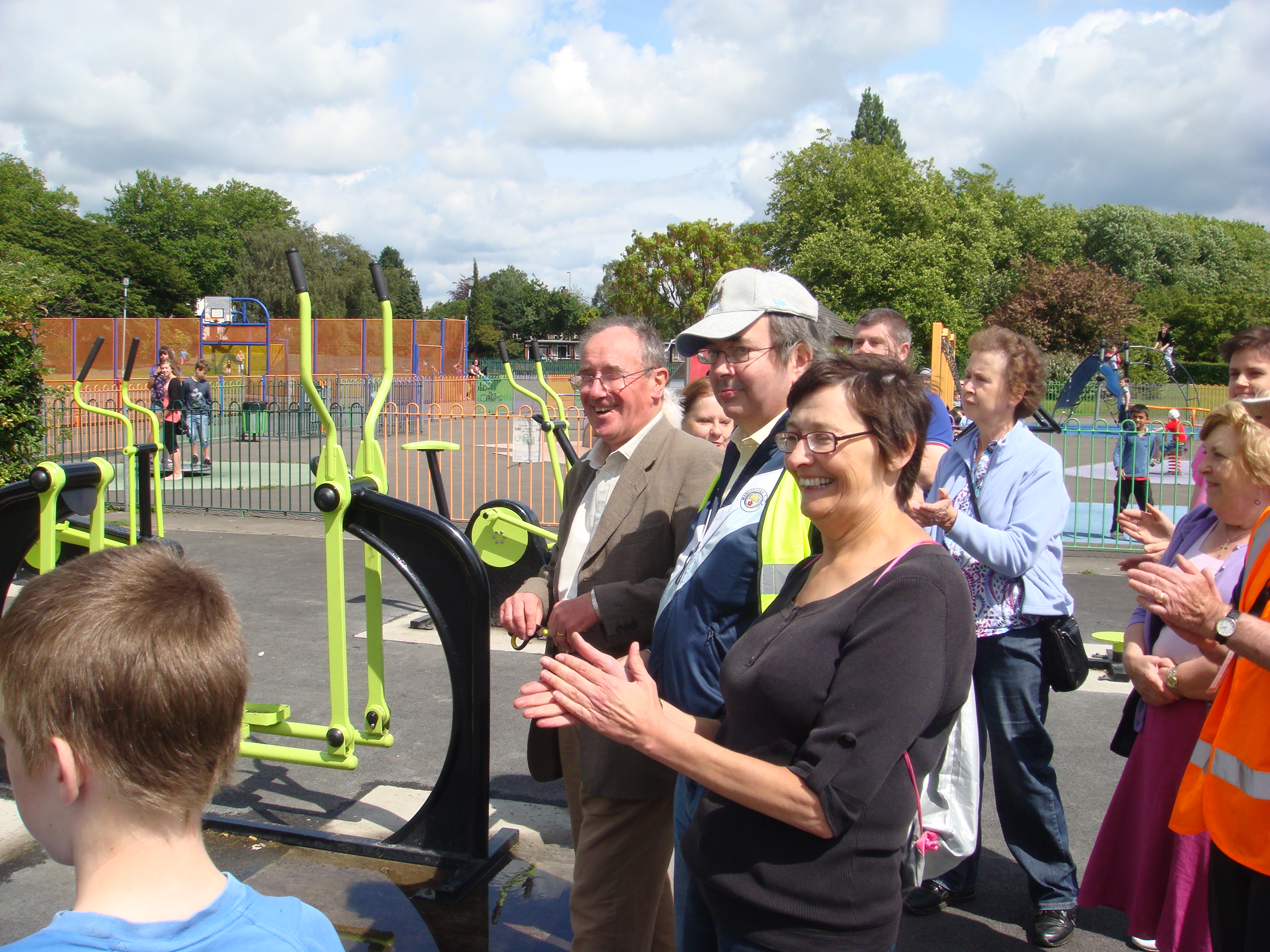 The
official opening of the outdoor gym by
Tony Parkinson,
Chair of Southway Housing
Trust (leftmost
in the group) [July 2011].
|
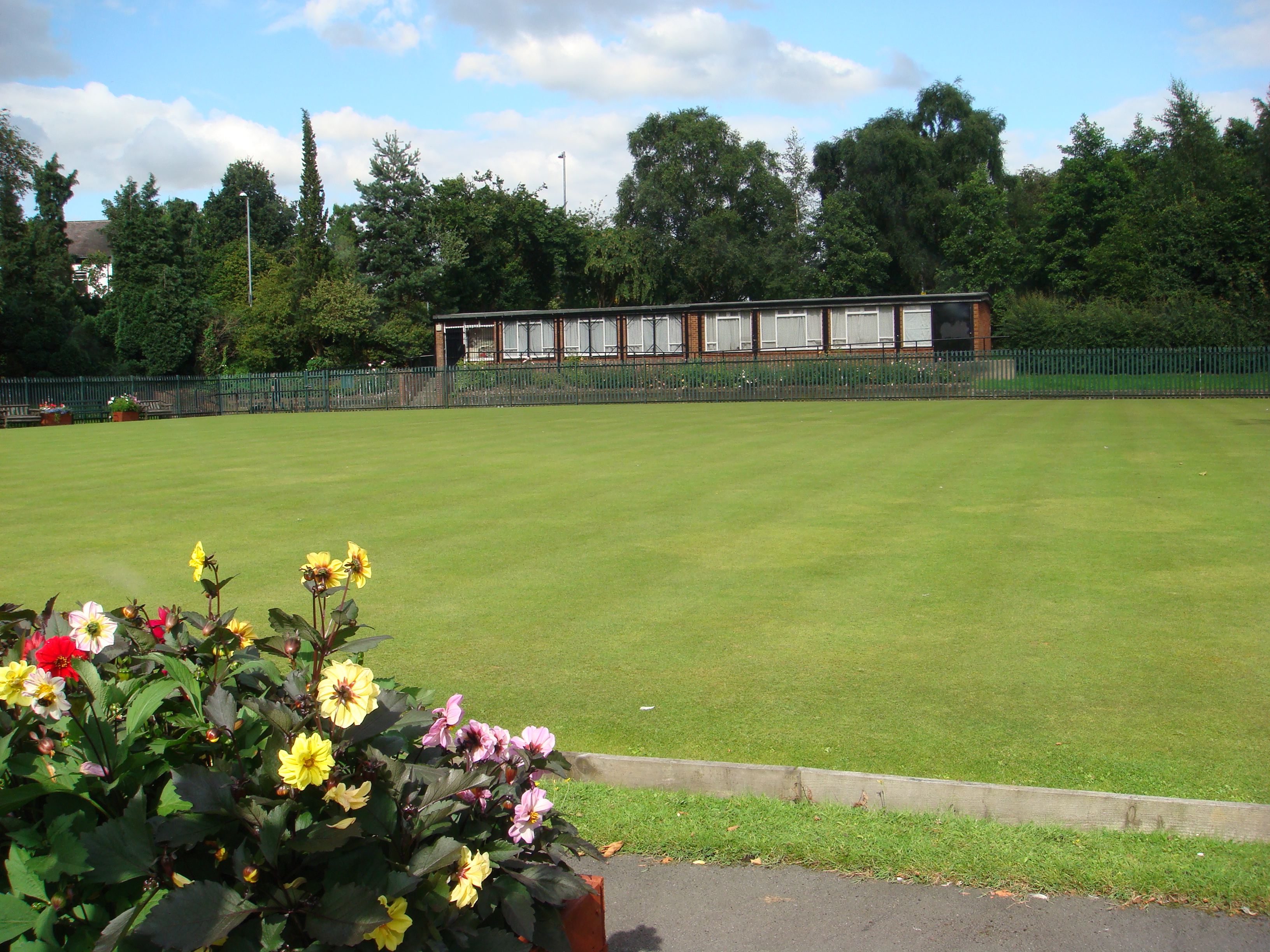 Ladybarn
Park - the bowling green. [2012]
|
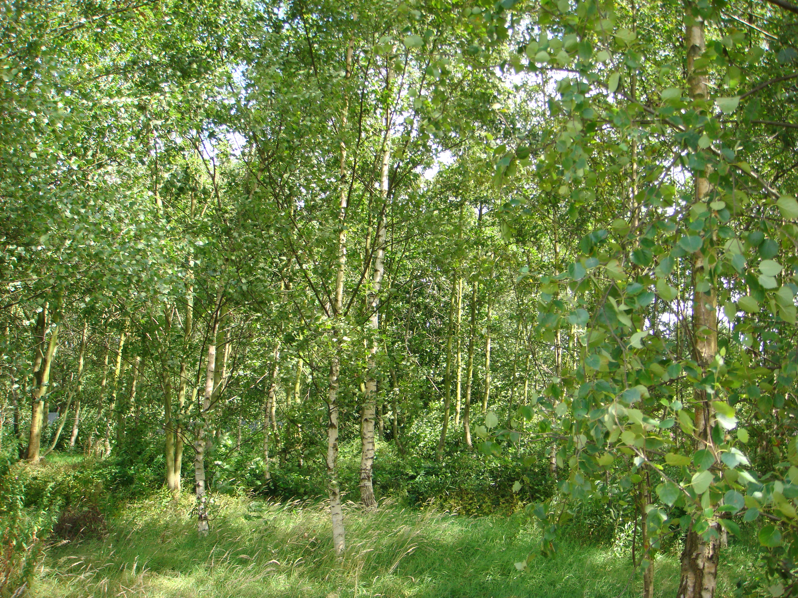 Ladybarn
Park - birch woodland in
summer (Betula
pendula). [2011]
|
St Chad's Community Wildlife Garden was developed from early 2012 in the grounds of St. Chad's Church, Ladybarn. Here are some pictures (again, click on the images for enlarged views).
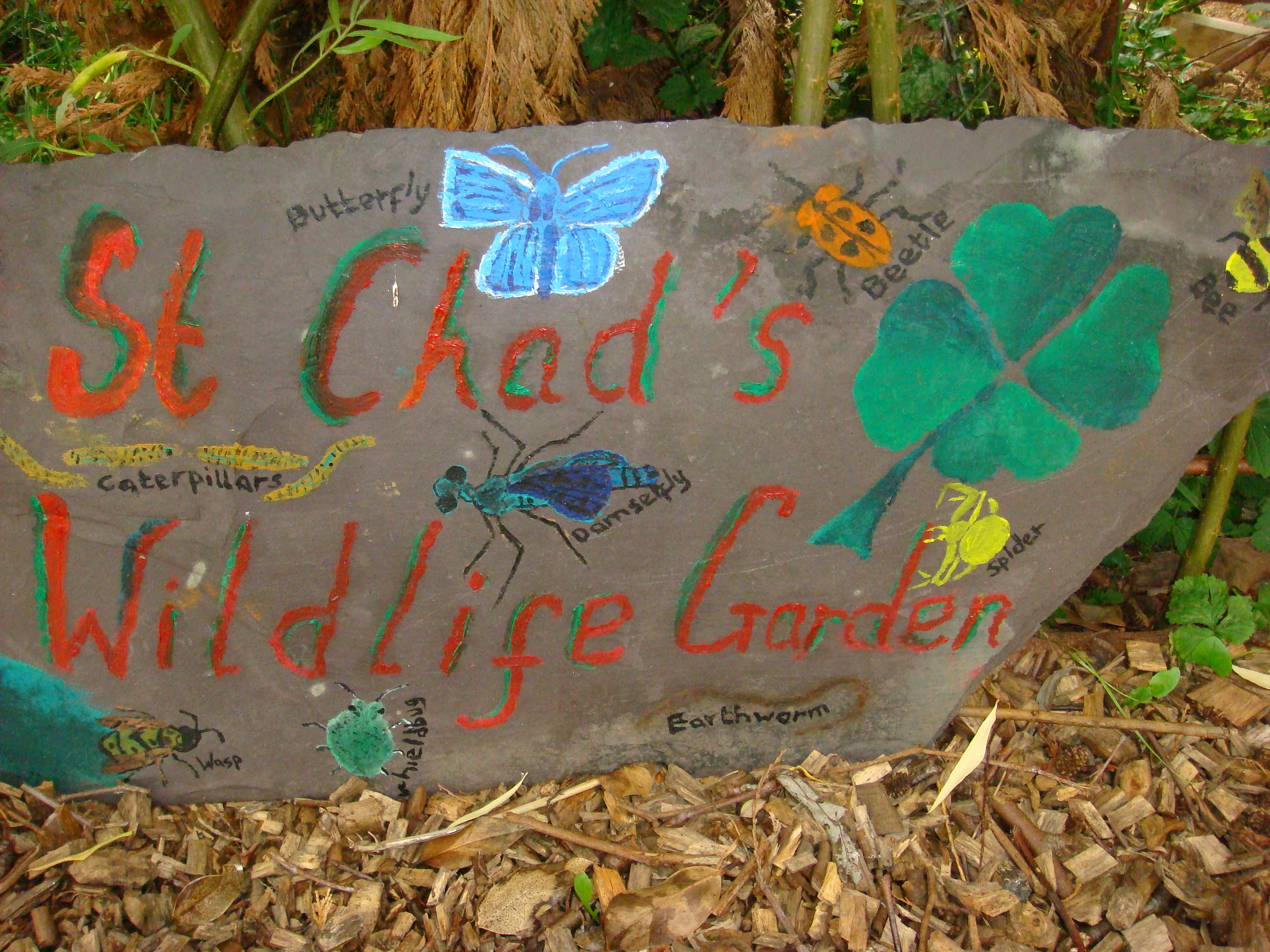 St
Chad's Community Wildlife Garden - entrance stone
[2012].
|
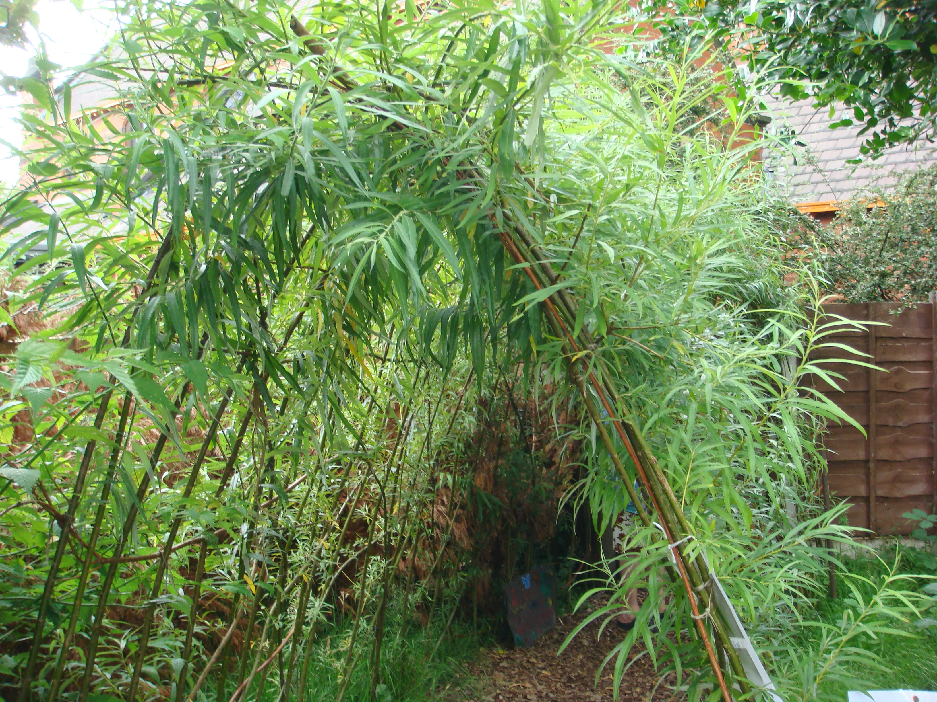 The
Community Wildlife Garden - the willow arch
entrance [2012].
|
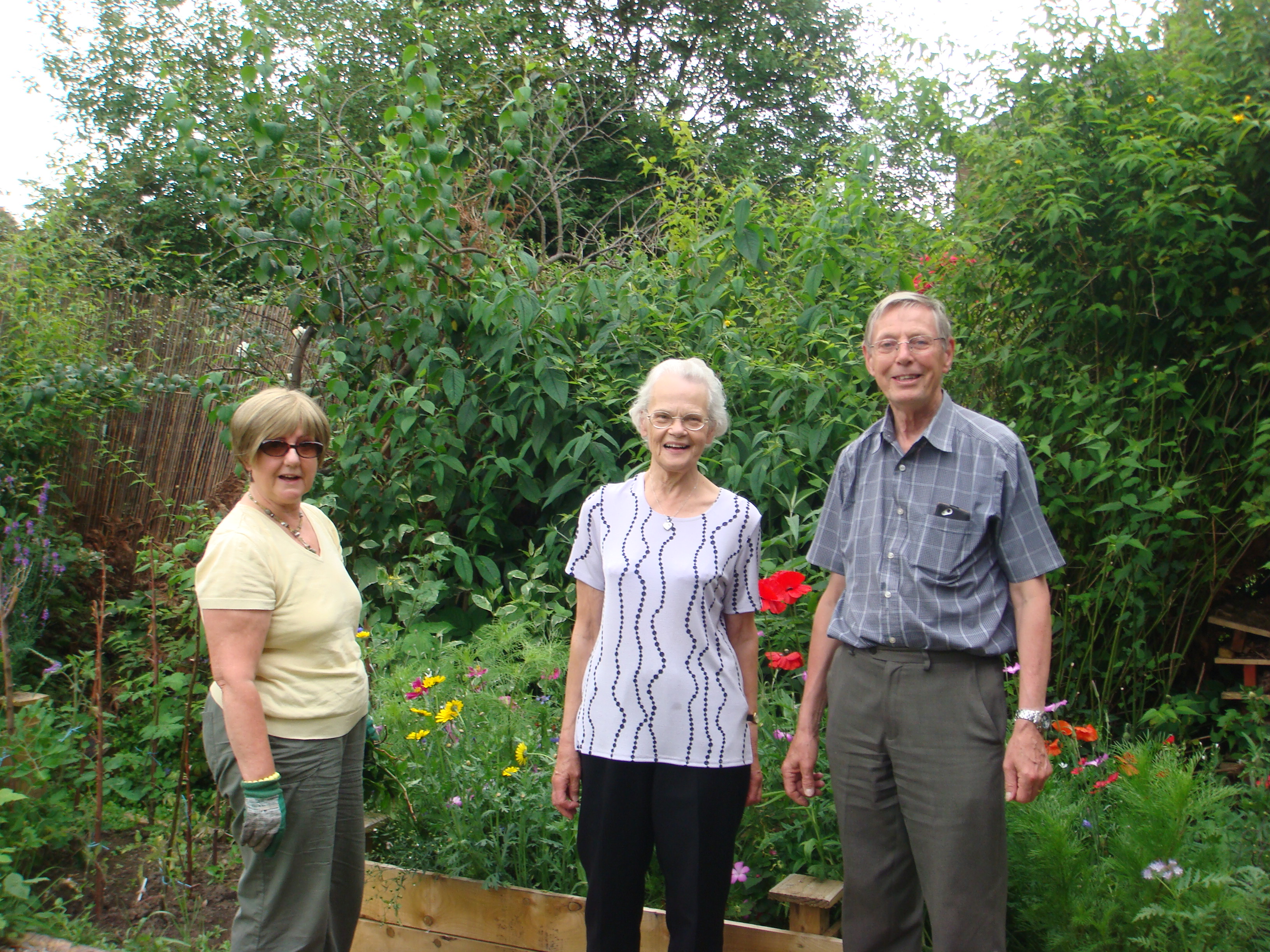 Some
of the gardeners [2012].
|
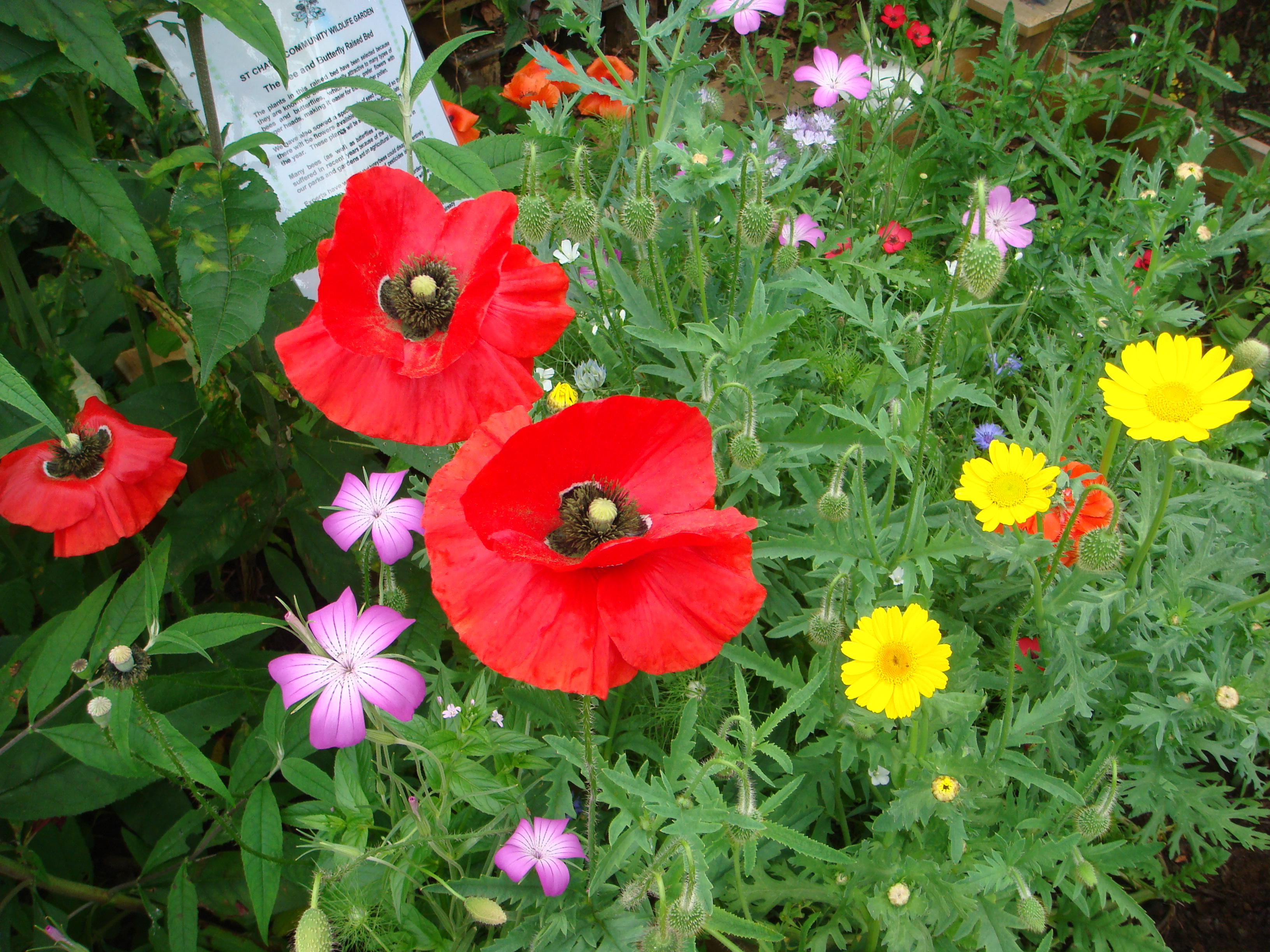 Community
Wildlife Garden - a "nectar bed" [2012].
|
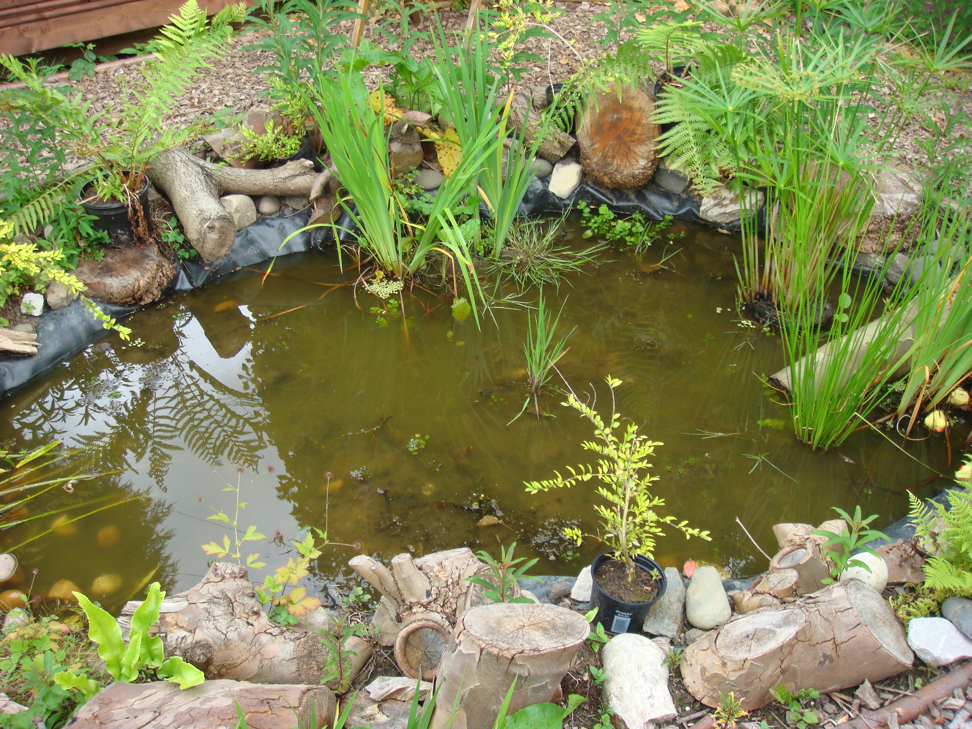 The
pond in the Community Wildlife Garden [2012].
|
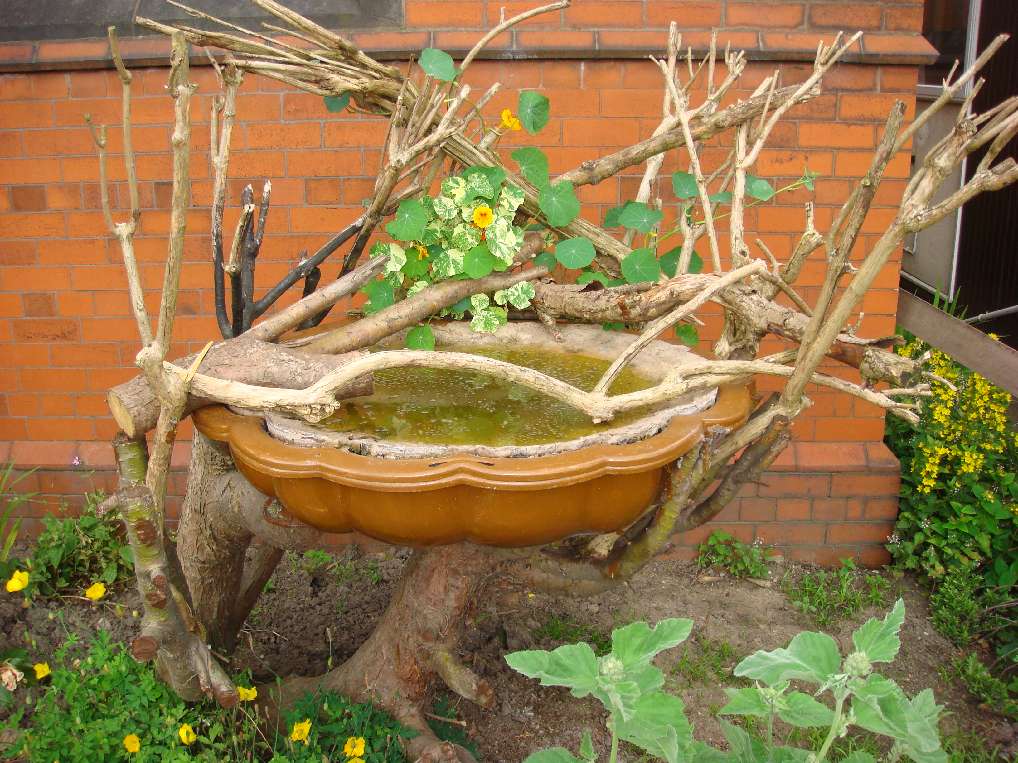 Inventive
birdbath in St. Chad's grounds [2012].
|
.
Origin of the place-name 'Ladybarn'
'Ladybarn/Lady Barn' as a place-name is rare in Britain.
Rev. John Booker (A history of the ancient chapels of Didsbury and Chorlton), writing in 1857, says of the name 'Ladybarn/Lady Barn':
These early dates rule out a reference to Lady Anne Bland. However, the name may be a fairly-recent given name, for a house or farm building, or the name may be derived as a modification of an earlier name.
If the name is indeed an ancient name for the settlement, there are several possible sources. One is that it refers to a 'tithe barn'. Lady Day was the start of the accounting year (originally, March 25th, and named after St. Mary) for the payment of tithes (payments, usually 'in kind' i.e. agricultural produce). The other accounting days (quarter-days) were Midsummer Day, Michaelmas, and Christmas Day. Tithe barns were for the storage of these payments from the farm workers to the land-owners or the church. However, whilst such barns were common, there is little evidence of them generally being called 'lady barns'.
Another possibility relates to land ownership by a church or monastic institution dedicated to Our Lady (St. Mary).
The Abbey of St Mary-in-the-Marsh at Cockersand (Lancashire) is recorded to have held land in this area. According to the Chartulary of Cockersand Abbey (Reprinted by the Chetham Society, Vol. 43, 1900), translated from the Latin:
Elsewhere in the chartulary, we have:
These extracts appear to refer to Withington (in "Salfordsyre") with the "great ditch" being Nico Ditch. This possible source of the name 'Ladybarn/Lady Barn' is mentioned by several authors, but in the absence of more evidence, including older references to the name, this derivation remains unproven.
Ladybarn
Social Club. A history
of the Ladybarn Social Club, formerly the Ladybarn and
District Royal British Legion Club, by Phil Cowtan and the
committee of the club (2013).
Documents: Some documents relating to the protests against the redevelopment plans for Ladybarn in the 1970s. Many thanks to Ruth Shepherd who sent these. They include reference to the one-time Ladybarn Civic Society, and to the Rusholme: Poster 1 (1971) | Poster 2 | Civic Society letter (1973) | Manchester Evening News (1973)